21 Oct 2026
Chronological Shifts in Data Collection Strategies for High-Latitude Projects
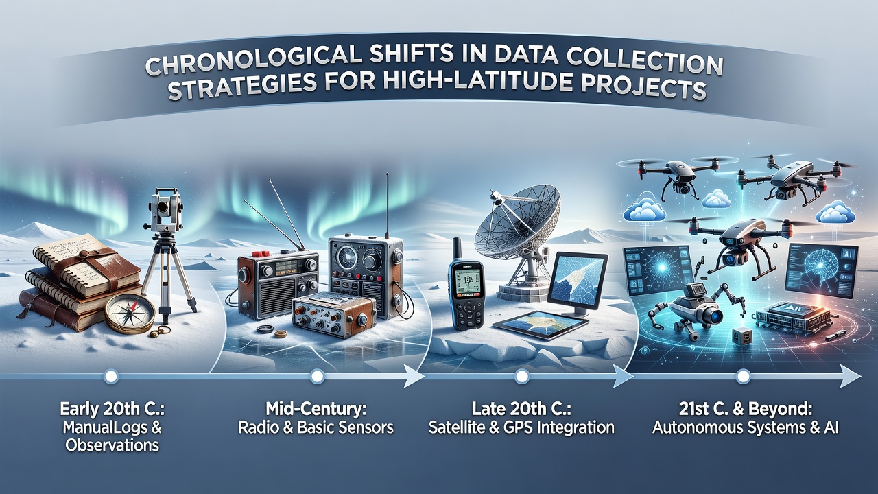
High-latitude projects have relied on evolving data collection methods that reflect advances in technology and the demands of remote environments, and researchers have tracked these changes across decades of Arctic and Antarctic fieldwork. Early efforts depended on manual recording by expedition teams who logged temperatures, wind speeds, and ice conditions in notebooks during seasonal visits, yet the limitations of human presence in extreme cold restricted the volume and consistency of information gathered.
Foundations in the 20th Century
By the 1950s and 1960s permanent weather stations appeared along northern coastlines where personnel maintained daily observations while supply ships delivered equipment and provisions, and data traveled south through radio transmissions or physical logs carried by returning vessels. These stations supplied baseline records that later studies compared against modern measurements, although gaps in coverage occurred during winter darkness or equipment failures.
Researchers from institutions such as the University of Alaska Fairbanks documented how buoy deployments in the 1970s introduced floating sensors that transmitted sea-ice thickness and ocean temperature via satellite links, and this shift reduced the need for constant human oversight while expanding spatial reach across open water. The transition allowed continuous monitoring even when personnel could not reach sites, and figures from that era show a steady rise in daily data points compared with earlier decades.
Integration of Remote Sensing
Satellite systems gained prominence in the 1980s and 1990s when agencies launched instruments capable of mapping ice extent and surface temperatures from orbit, and projects coordinated ground validation teams to confirm readings against in-situ measurements. Observers note that these orbital datasets revealed large-scale patterns invisible to local stations alone, while still requiring periodic field campaigns to calibrate sensors and collect supplementary samples.
By the early 2000s automated weather stations equipped with solar panels and satellite modems operated year-round in many locations, transmitting readings every few hours without on-site staff, and data from these units fed directly into global climate models maintained by organizations including the National Oceanic and Atmospheric Administration. Such networks increased temporal resolution and reduced logistical costs associated with frequent visits, although maintenance trips remained necessary to replace batteries and repair storm damage.
Contemporary Approaches and October 2026 Developments
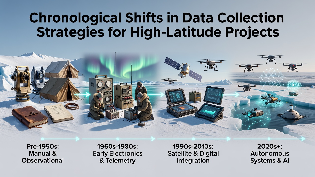
Current strategies combine multiple platforms that include drones for aerial surveys, underwater gliders for ocean profiling, and wireless sensor arrays connected through low-power wide-area networks, and project teams integrate these streams into unified databases accessible to collaborators across institutions. Studies from the EU-PolarNet collaboration illustrate how real-time processing now occurs on edge devices before transmission, which cuts bandwidth requirements while preserving detail for later analysis.
Projects scheduled for review in October 2026 will incorporate expanded use of machine-learning algorithms that flag anomalies in incoming streams and prioritize alerts for rapid response, and Canadian research programs have already piloted similar systems to track permafrost thaw rates. These methods build on earlier remote-sensing foundations while adding predictive layers that help allocate limited field resources more effectively during brief summer windows.
Challenges and Adaptations
Power supply remains a persistent constraint at high latitudes where sunlight vanishes for months, so teams continue to test hybrid systems that pair wind turbines with advanced batteries, and recent deployments have extended operational periods without human intervention. Data security also receives attention as more transmissions move through shared satellite constellations, prompting adoption of encryption standards developed by international bodies.
One study revealed that combining historical paper records with digitized archives creates longer continuous datasets for trend analysis, and archivists at several polar institutes have completed conversion projects that allow direct comparison between 1950s observations and current readings. Such integration highlights how chronological shifts do not replace earlier techniques entirely but layer new capabilities onto established records.
Conclusion
Data collection at high latitudes continues to advance through incremental adoption of automation, satellite connectivity, and computational tools that address the geographic and seasonal barriers inherent to these regions. Projects benefit from the cumulative record built across decades, and coordinated efforts among government agencies, universities, and field operators sustain the infrastructure required for ongoing observation. The patterns established so far indicate that future strategies will emphasize interoperability between platforms while preserving access to legacy measurements for comprehensive analysis.